RADAR • CLOUDS • RAIN • SNOW • WIND • TORNADO • NWS CHICAGO O’HARE FORECAST • NWS CHICAGO / X • NWSSPC / X • NWS CHICAGO LOT • AC WEATHER • Weather Day/Night
⏪ Hrly Data Table | Hrly Future Graph ⏩
IMPORTANT NOTE ON NWS DATA
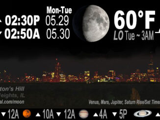
Moon phase, moonrise, moonset, night sky featuring planets, and monthly backyard astronomy events. Daily overnight forecast emphasis with morning low temperature. […]
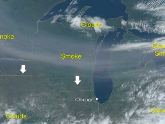
The much broadcast and published lake enhanced cold front or ‘pneumonia front’ is racing south across Lake Michigan early Tuesday afternoon. Temperatures ahead of the front are warming into the mid to upper 70s and […]
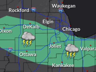
Series of Thunderstorms Possible 11 PM to 5 AM A strong “pneumonia” front is expected to dive south across Lake Michigan Sunday afternoon, which will lead to a rapid drop in temperatures for areas along […]
Peak thunderstorm activity for northern Illinois is set at 12:00 a.m. to 5:00 a.m. Sunday, May 7, 2023; and although hail is possible overnight, NWS Chicago forecasters expect “lower coverage and/or intensity of storms in […]
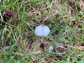
A thunderstorm cell with heavy rain, hail and a little lightning passed through Rolling Meadows and Arlington Heights and other nearby communities about 1:45 p.m. Tuesday, April 4, 2023. The storm started slow with moderate […]
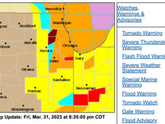
Tornado Siren activation (now known as Outdoor Warning Siren Activation) caused considerable confusion Friday night, March 31, 2023 because there was no Tornado Warning activated by the National Weather Service for Arlington Heights when the […]
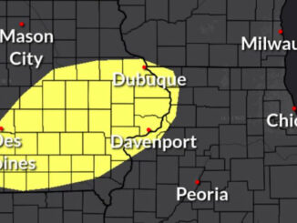
Tornado Watch [Tornado Watch Zone] Radar indicates severe weather with the leading edge from about Peoria to Davenport moving northeast toward Chicagoland. TORNADO WATCH OUTLINE UPDATE FOR WT 96 NWS STORM PREDICTION CENTER NORMAN OK […]
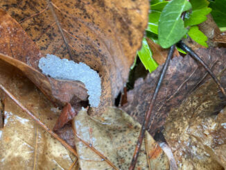
Saturday morning the National Weather Service Chicago office canceled the southeastern tier of winter headlines (Winter Weather Advisories) where lingering snowfall rates were expected to be too light to meaningfully accumulate. Temperatures were also above […]
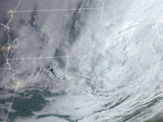
A narrow corridor of heavy snowfall has moved northwest with the heaviest snow likely to fall along the Illinois Wisconsin state line from about Antioch to about 25 miles northwest of Rockford. Additionally, radar has […]
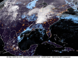
Deep, wet snow is forecast to accumulate near the Illinois-Wisconsin state line and especially away from the lake. However, there is still room for the location of the narrow heavy snow corridor to wobble north […]
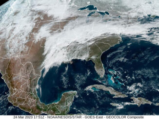
Wet snow is expected to fall late Friday and Saturday with deeper accumulations trending from north of I-88 to the Illinois-Wisconsin state line. However, as is often the case, there is uncertainty with the track […]
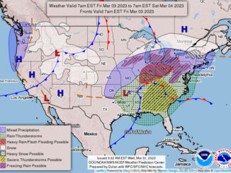
A weather system that could possibly dump deep, wet snow on Chicagoland continues to advance to Chicagoland Friday, but the long-range forecasted tracks in weather models has wobbled and diminished total snow accumulation outlooks. The […]
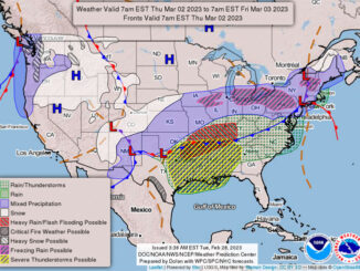
A weather system that could possibly dump deep, wet snow on Chicagoland has a potential to advance to Chicagoland Friday — especially affecting far west suburbs, northwest suburbs, McHenry County and western Lake County. The […]
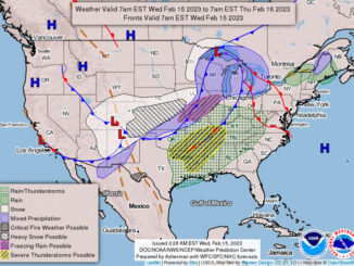
The low level jet has maximized over northeast Illinois, with occasional wind gusts to 45 mph, and a few sporadic gusts in the lower 50 mph range. Chicago O`Hare at about 9:00 p.m. Tuesday experienced […]
The following NOAA Weather Radio transmitters are currently off the air: KWO-39 Chicago (162.550 MHz/300 Watts) — serving Cook, DuPage, Lake IL, Lake IN, Porter counties; KXI-41 Crystal Lake (162.500 MHz/300 Watts) — serving Boone, […]
©2024 Cardinal News | Apriori, Inc.