RADAR • CLOUDS • RAIN • SNOW • WIND • TORNADO • NWS CHICAGO O’HARE FORECAST • NWS CHICAGO / X • NWSSPC / X • NWS CHICAGO LOT • AC WEATHER • Weather Day/Night
⏪ Hrly Data Table | Hrly Future Graph ⏩
IMPORTANT NOTE ON NWS DATA

Excessive Heat Watch in Effect Saturday Morning through Monday Night A heat wave is expected hit Chicagoland this weekend with temperatures into the mid 90s and with heat indices in excess of 100°F. Sunday is […]

Overnight, a large, mature Mesoscale Convective System (MCS) — a group of thunderstorms in one complex — extended from north of Milwaukee, Wisconsin to south of Danville, Illinois and moved into Arlington Heights and the […]

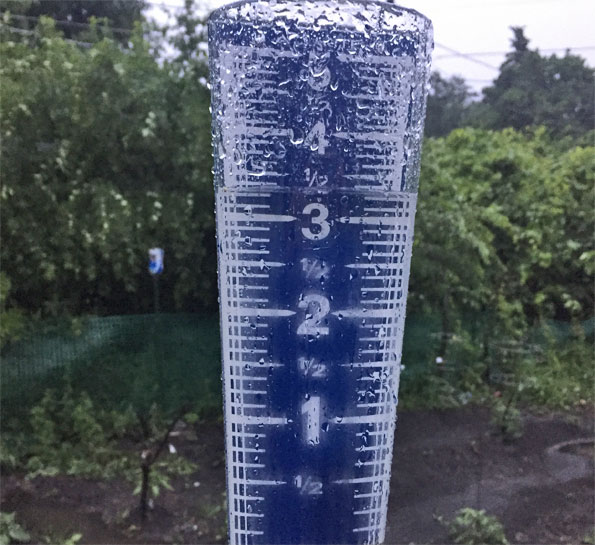
FLASH FLOOD WARNING 4:42 AM UNTIL 7:45 CDT SATURDAY JUNE 9 2018 Northern Cook County and far southeast Lake County has been hit the hardest overnight by thunderstorms and medium to heavy rainfall. Flash flooding, […]

Scattered thundershower activity has held together a little more than expected, but is still dying out as it approaches Arlington Heights and the northwest suburbs. There might be some showers and a little thunder in […]

A worn out system of thunderstorms will be crossing from Minnesota to southeast Wisconsin this afternoon, and some peripheral activity may drift into the McHenry County, Lake County, Cook County, and other northern counties. The […]

A breezy day with plenty of sun in Chicagoland as high pressure over the central Great Plains impinges on the departing surface trough heading all the way to Manitoba (don’t let the door hit you […]

High pressure well north of Chicagoland will bring cool and dry conditions with a Fall season feel overnight. Lows in the lower 50s bottoming out between 12:00 a.m. and 3:00 a.m. UPDATE: Beach Hazards Statement […]

MAY 2018 ALL-TIME WETTEST MAY FOR CHICAGO OFFICIAL WEATHER: 8.21 INCHES Cooler weather for Friday, especially if you live closer to Lake Michigan. Chicagoland residents will be facing a back door cold front with northeast […]

FLOOD WARNING: STREAMWOOD AND HOFFMAN ESTATES MAY BE HARDEST HIT Localized heavy rainfall is possible as thunderstorms from an “outer band” remnant of Subtropical Storm Alberto edge eastward toward Arlington Heights, which is on the […]

The question of the day is whether the remnants of Subtropical Storm Alberto will bring a lot of rain to Chicagoland. At 4:49 a.m. the low pressure center of Subtropical Storm Alberto was located in […]

The National Weathers expects atmospheric support for marginal/transient supercell thunderstorms with damaging winds possible this afternoon. Severe Thunderstorm Watch in effect from May 14, 02:55 PM CDT until May 14, 10:00 PM CDT Weather Radar […]

Storms passing the Rockford area at about 5:00 a.m. were forecast to enter the northwest suburbs of Chicago by about 6:00 a.m. The storms have a history of dime- to penny-size hail. Flash flooding is […]

Fire weather concerns are a repeat from Monday to Tuesday with another very warm, very dry and windy day expected today. A Red Flag Warning is in effect from May 1, 12:00 PM CDT until […]

Critical fire weather conditions have continued across much of the Chicagoland forecast area late this morning and this afternoon. South winds have been gusting 20 to 25 mph, and infrequently to 30 mph across the […]

Intermittent sprinkles are possible but are expected to diminish in the afternoon and evening. Weather Radar (also nexrad.chgowx.com) shows weak and diminishing precipitation images that represent sprinkles barely making it to the ground. The very […]
©2024 Cardinal News | Apriori, Inc.