RADAR • CLOUDS • RAIN • SNOW • WIND • TORNADO • NWS CHICAGO O’HARE FORECAST • NWS CHICAGO / X • NWSSPC / X • NWS CHICAGO LOT • AC WEATHER • Weather Day/Night

IMPORTANT NOTE ON NWS DATA
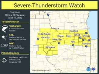
There are four weather alerts that are active tonight for northern Illinois, including the communities around Arlington Heights. RED FLAG WARNING REMAINS IN EFFECT UNTIL MIDNIGHT CDT TONIGHT… WIND ADVISORY IN EFFECT UNTIL 7 AM […]
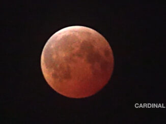
Lunar Eclipse at End of Maximum 10X Speed Friday, March 14, 2025 (CARDINAL NEWS). YouTube Tips ⓘ The Total Lunar Eclipse on Friday, March 14, 2025 was a good show for Chicagoland with favorable mid-March […]
If you see new snow on the ground Sunday morning, it’s probably mostly snow blown off your roof and nearby snow-covered ground. A total of one-half inch of snow was possible overnight, but there was […]

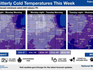
Friday morning 3:00 a.m. to 5:00 a.m. was down to 3°F at O’Hare International Airport and below zero from about Palatine and further northwest, but Friday will be warmer than Thursday with a high around […]

An area of light snow developed overnight dropping less than inch — as forecasted. Snow is expected to redevelop from the west and increase in intensity by mid-morning, with steady heavier snow developing across northern […]

According to the NWS Chicago, the snowfall totals for Wednesday’s storm are uncertain. Models/forecasts including the Arlington Heights area are indicating a range, including a 2.8″ total, a 4″ total or a 5″ total. CARDINAL […]
According to the National Weather Service Chicago, a band of lake effect snow will traverse the Chicago metro from Lake County/northern Cook County early Monday morning, January 6, 2025, into Chicago late morning through the […]

A line of thunderstorms passed through the Arlington Heights area by 4:30 a.m. with no significant winds and only brief heavy rain in downtown Arlington Heights and surrounding areas. No fire calls were dispatched related […]

Severe thunderstorms did not material in northwest Cook County; however, the conditional threat of severe thunderstorms late this afternoon continues into the evening. Another round of storms possible early Tuesday morning mainly north of I-80, […]

Lows in the 70s once again overnight. A modest shortwave ejecting out of the northern Plains may lead to the development of scattered showers and storms near the Illinois-Wisconsin line Sunday to Monday and overnight. […]
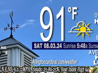
Funnel Clouds Possible Early This Evening in McHenry Area Northwest of Arlington Heights in McHenry County, atmospheric conditions are favorable for the development of funnel clouds. These funnel clouds normally only protrude a few hundred […]
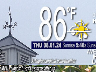
The probably of precipitation has been adjusted down slightly for the next 2 to 3 hours by NWS Chicago. Many areas will have periods of drier conditions through the early afternoon; however, localized pop-up showers […]
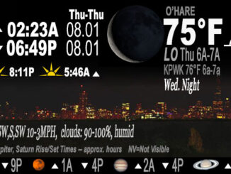
Dew points have been in the 70s overnight. There is only a light dew on the grass. There was a Heat Index all night ranging 90°F to 75°F. Wind was less than 7 MPH from […]

An uncertain storm-related forecast exists Tuesday into Wednesday with strong to severe storms occurring to the west and southwest of Chicagoland Tuesday during the day. However, strong to severe storms are possible in our area […]

Humidity is high in the low levels near the surface tonight, and with high pressure forecast to move overhead, there is potential for fog. No rain likely overnight Monday to Tuesday morning, but additional rounds […]
©2024 Cardinal News | Apriori, Inc.